Geophysical survey results are helpful to locate sites for Wells, Borewells and Tubewells, To locate sites for Recharge purpose. Also, To find the type of subsurface rock like soft, hard or fractured and its width, length, shape, size and to find aquifers and its continuity.
Resistivity survey is conducted using SSR-MP1 (Signal Stacking – Micro Processor based) Resistivity meter. The Electrical Resistivity method is the best for ground water prospecting. As it can differentiate between unsaturated and saturated formations and between fresh, brackish and saline formations. It has the ability to identify lithology, determine depth and thickness of a detectable geoelectric layer.
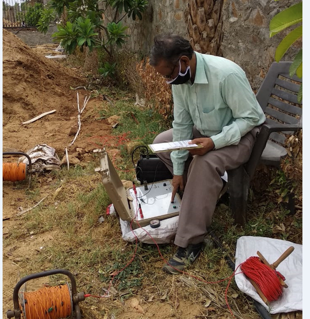
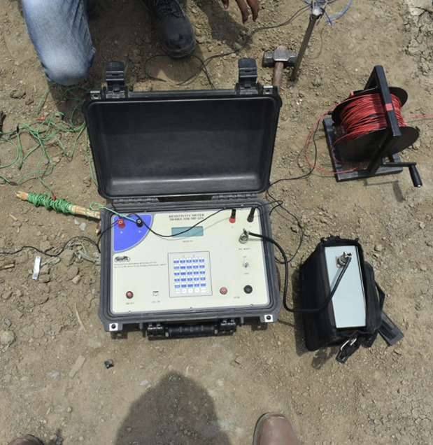
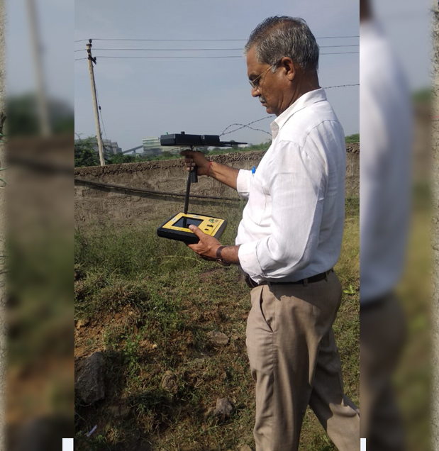
Telluric Survey is conducted using PQWT TC-500 Geophysical Telluric instrument is based on Natural electric field source. Underground rocks, minerals or groundwater (with resistivity contrast) produce variations in natural electric field components of various frequencies. Based on, measuring the natural electric field components of various frequencies on the surface, which produce abnormal changes due to resistivity contrasts of various geological formations, help to solve geological problems.
3D Ground Water Locator equipment’s are designed based on the variation of paleomagnetism (Geomagnetic Variations). The system is equipped with three different technologies to locate the Ground Water site:














Reva Consulantancy
![]() C-204, Supath II complex,
C-204, Supath II complex,
Near Old Wadaj bus stop,
Ashram Road, Old Wadaj, Ahmedabad,
Gujarat 380013